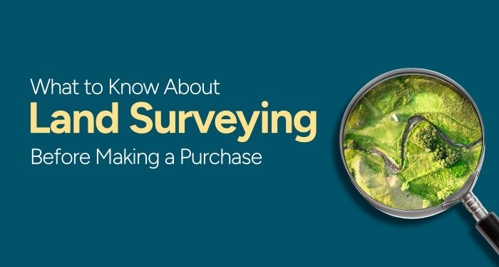
What to Know About Land Surveying Before Making a Purchase
Purchasing land is a significant investment, and it’s crucial to clearly understand the property’s boundaries, topography, and other physical features before making a purchase. A land survey provides this essential information, helping you avoid costly mistakes and get what you pay for. MyPropertyMap, your trusted guide to land ownership, presents this comprehensive guide to land surveying, empowering you with the knowledge you need to make informed decisions.
What is Land Surveying?
Land surveying is the science and art of determining the boundaries and dimensions of a piece of land, as well as its topography and other physical features. It involves measuring angles and distances and using specialized equipment to create accurate maps and plans. Land surveys are essential for a variety of purposes, including:
Establishing property boundaries
Planning construction projects
Determining the location of utilities
Identifying potential hazards
Resolving land disputes
Why is Land Surveying Important Before Purchasing Land?
There are numerous reasons why obtaining a land survey before purchasing land is essential. Some of the most important reasons include:
Boundary Disputes: A land survey clearly defines the boundaries of your property, minimizing the risk of boundary disputes with neighbors.
Accurate Property Information: A survey provides precise measurements and dimensions of the land, ensuring you know exactly what you’re buying.
Construction Planning: Accurate land survey data is crucial for planning construction projects, as it provides information on topography, slopes, and potential obstacles.
Hazard Identification: Land surveys can identify potential hazards on the property, such as floodplains, sinkholes, or underground utilities, helping you make informed decisions about the suitability of the land for your intended use.
Legal Protection: A land survey documents your property’s boundaries and features, providing valuable protection in disputes or legal challenges.
Types of Land Surveys
Different types of land surveys are available, each tailored to specific purposes. Some common types include:
Boundary Survey: Determines the exact boundaries of a property, including its length, width, and shape.
Topographic Survey: Maps the land’s topography, elevation, slopes, and drainage patterns.
Construction Survey: Provides detailed information for planning and constructing buildings or other structures on the property.
ALTA Survey: A comprehensive survey that meets the American Land Title Association’s standards, often required by lenders for commercial properties.
Choosing a Qualified Surveyor
Selecting a qualified surveyor is essential to ensure the accuracy and reliability of your land survey. Consider the following factors when choosing a surveyor:
Licensing and Certification: Verify that the surveyor is licensed and certified in your state or jurisdiction.
Experience and Expertise: Look for a surveyor with experience in the type of survey you need and familiarity with the local area.
References and Reviews: Ask for references from previous clients and check online reviews to assess the surveyor’s reputation.
My Property Map: Your Partner in Land Surveying
My Property Map is your trusted partner in land surveying. We provide a comprehensive range of services to meet your needs. Our licensed and experienced surveyors use state-of-the-art equipment and technology to deliver accurate and reliable land surveys. Whether you’re purchasing land for residential, commercial, or agricultural purposes, My Property Map has the expertise to provide you with the information you need to make informed decisions.
Additional Considerations for Land Surveying
Environmental Factors: A land survey can also identify ecological factors affecting the property, such as wetlands, endangered species, or soil contamination.
Easements and Encumbrances: A survey can reveal any easements or encumbrances on the property, such as rights-of-way or utility easements.
Cost of Land Surveying: The cost of a land survey will vary depending on the size and complexity of the property, as well as the type of survey required.
Conclusion
Land surveying is an essential step in the land purchasing process. It provides valuable information about the property’s boundaries, topography, and other physical features. By understanding the importance of land surveying, choosing a qualified surveyor, and considering the additional factors discussed above, you can ensure that you’re making a sound investment and protecting your property rights. MyPropertyMap is here to guide you through the land surveying process, empowering you with the knowledge and confidence you need to make informed decisions about your land ownership journey.
